

Drone Logic provides UAV based services to the New Zealand agricultural and surveying industries. With the latest drones, powerful hardware and 3D-operation planning. Drone Logic brings operation efficiency and safety to a whole new level. Our integrated operating system is highly mobile, able to operate in the most difficult environment's and from the most remote locations.
Weed Control
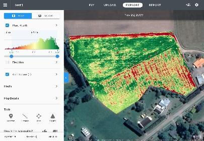
Controlling undesirable plants and weeds is a must. Using survey grade mapping and precision spraying we can control the most undesirable weeds in the most difficult locations.


Riparian and Native Planting
Weed control prior to riparian and native planting is essential. Eliminating competition for nutrients, moisture and light increases survival and early growth.
We can quickly and accurately prepare your area for planting giving them the best chance to survive.
Agricultural and Civil Surveying
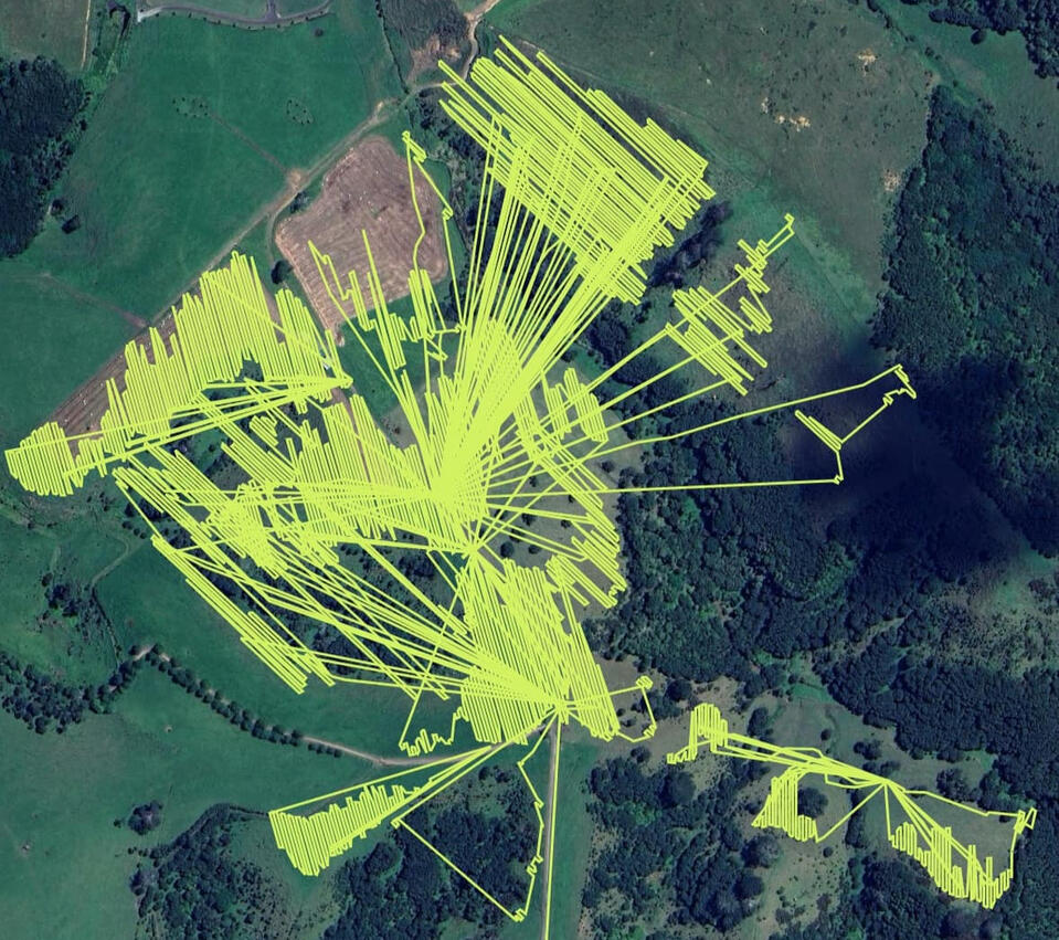
Using our survey grade RTK precision drones we can provide 3D maps of your property, contour maps of your site and can calculate quantities of stock piles.

Spraying
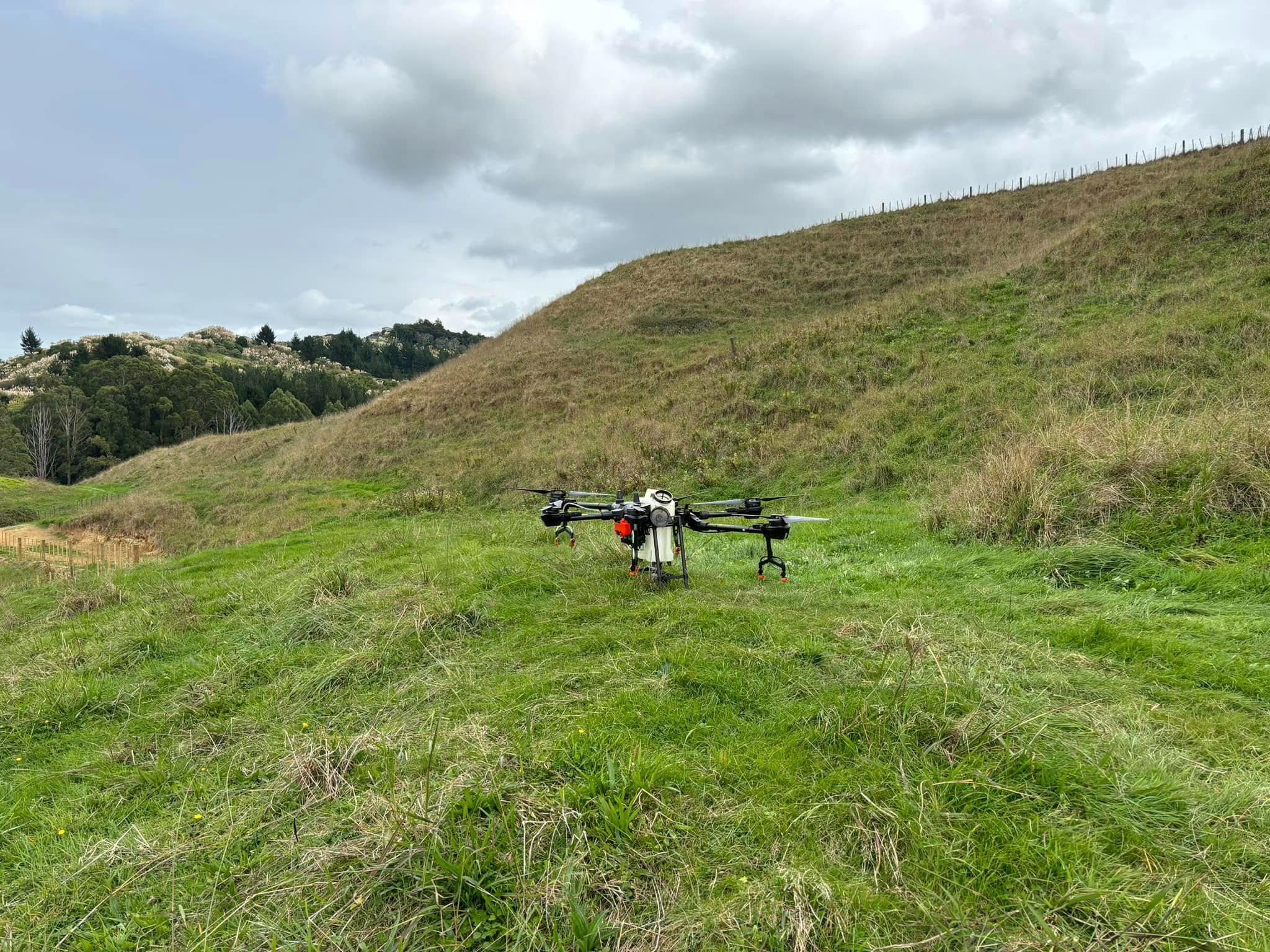
Drone Logic offers services from spot spraying Gorse, Pampas and Blackberry and pasture spraying to remove the likes of Buttercup and various flat weeds. This precision not only ensures effective weed control but also minimizes environmental impact by reducing overall chemical usage. Beyond weed management, our drone sprayers are also highly effective for applying liquid fertilisers. Liquid fertiliser gives faster nutrient absorption by plants, leading to quick correction of nutrient deficiencies. Our services are designed to be flexible and adaptable, catering to the specific needs of your land and crops, ultimately providing a cost-effective and environmentally conscious solution for modern farming practices.

Surveying
Drone logic uses up to date technology and quality RTK drones that can produce centimeter accuracy. With mapping of your farm, work site or development we can use our software to produce accurate 3D maps and models from thousands of images.

About us
Born out of a desire to look after our environment and a passion for aviation Drone Logic offers practical and effective solutions to help our clients achieve:
# Better environmental outcomes
# Increased productivity
# Better economic results
# Improved Health & Safety

Contact us
Send us an enquiry and we'll get back to you as soon as possible.